Projects
Bio-regional Projects
I like to explore regional biodiversity. My primary areas of interest are biodiversity/biogeography and changes /threats to habitats be it from human interference/activity or from other factors. Many habitats are diminishing at an alarming rate for a number of reasons most of which has to do with land use change for development or agriculture. We often forget that the environment comprises our basic everyday Reality, even if you are just walking past a tree to work in the city. Whether its sagebrush grassland, desert, mountain terrain or coastline, the environment is consistently being changed in human upgrades, housing and food crisis' as well as modernisation. Below are some facts about our diminishing habitats (based on my travels in US and Canada).
Grasslands
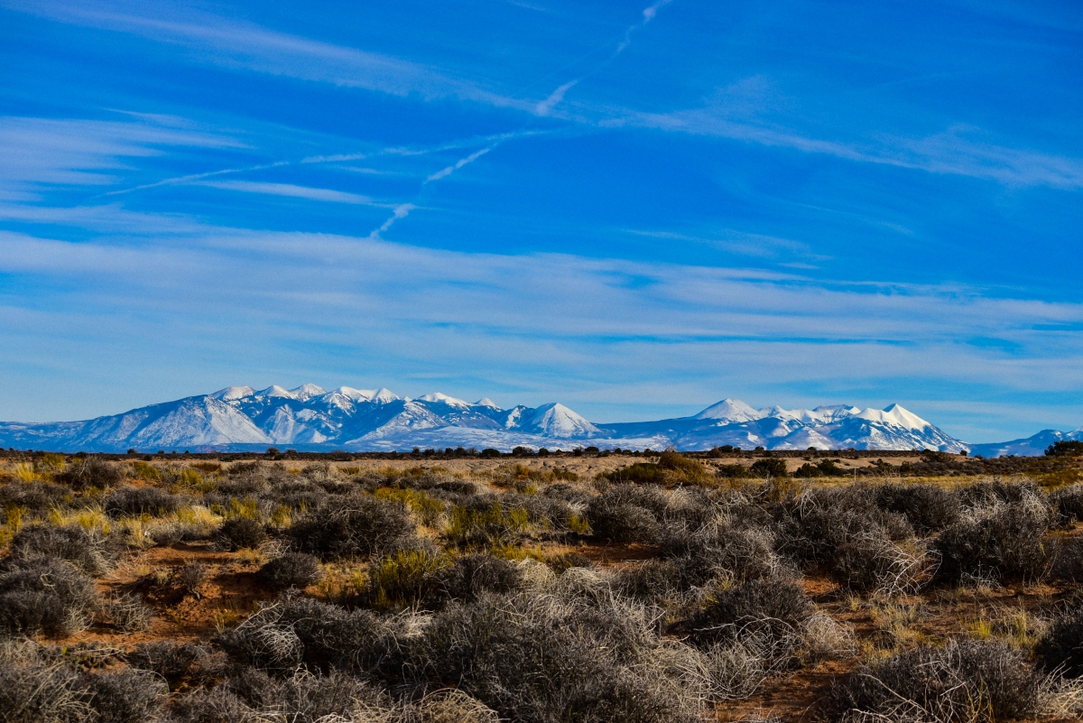
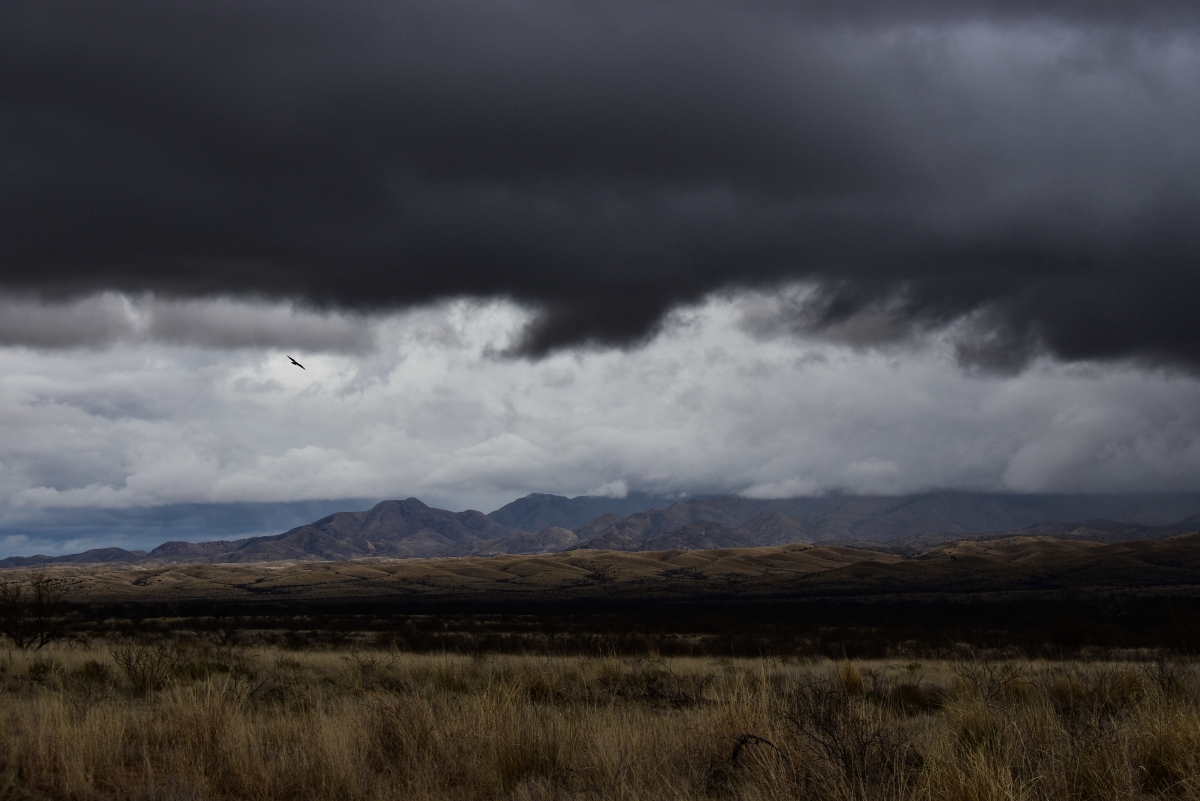
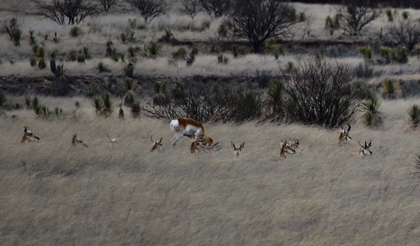
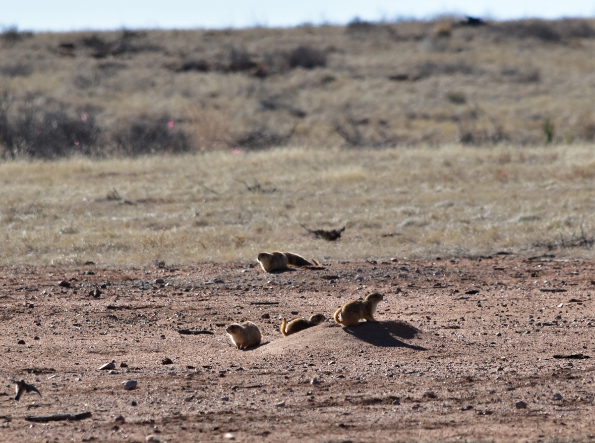
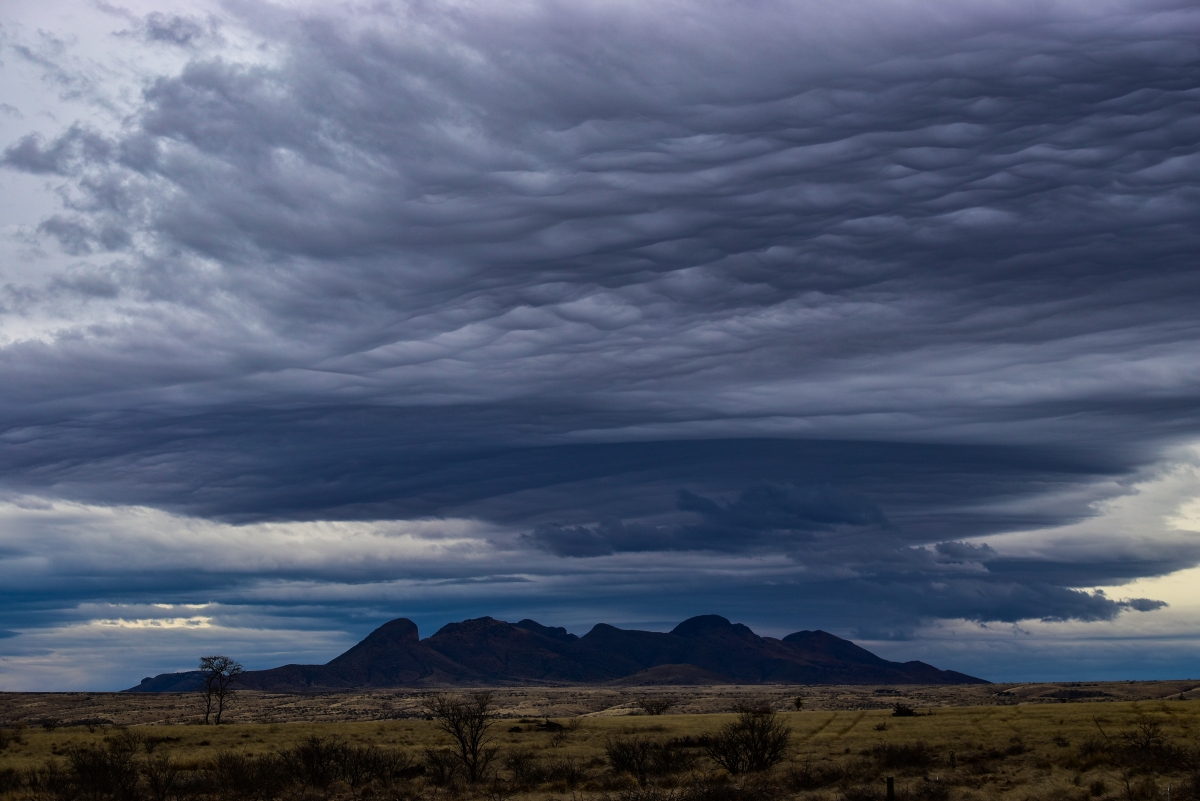
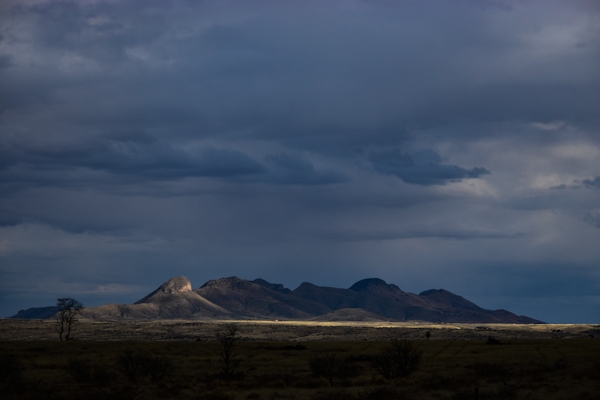
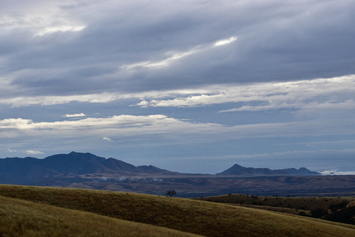
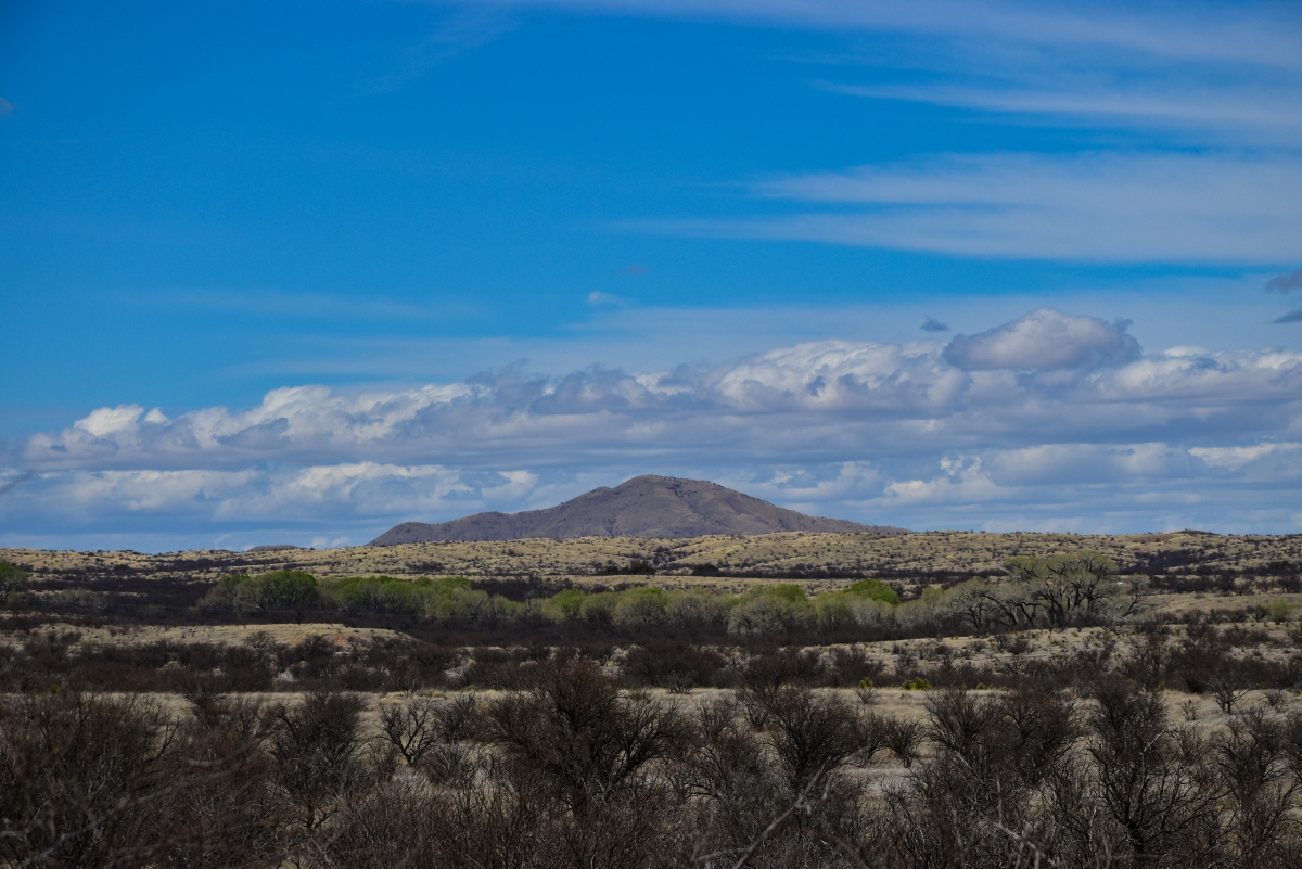
Grasslands are not often associated with Arizona but this is a region that contains some of USA’s highest recorded levels of biodiversity, supporting a number of habitats. More specifically arid deserts and canyonlands, semiarid shrub- and grass-covered plains, woodland, shrubland-covered hills, lava fields and volcanic plateaus, forested mountains, glaciated peaks, and river alluvial floodplains (USGS, 2014). Grasslands occupy a mosaic of habitats within these areas - extending south to Mexico and north towards Colorado, California, Utah and east to New Mexico where there are also alpine grasslands and meadows found at higher elevations. Historic grasslands have been severely degraded by development, agriculture, extraction and their affects and are now fragmented - a mere fraction of a former ecosystem in the region of 24 million acres (NC, 2024). This has lead to ecological changes in the landscape that affects how grasslands grow naturally. Grasslands are no longer fire dependent for germination and nutrients because fire has been suppressed allowing for more invasive and non-native species with changed plant communities. Development has led to fire suppression, run off and pollution, cattle grazing on ranch/range lands have led to soil erosion, which is detrimental to soil recycling and affects the ability of water to be filtered through soil layers, (https://sonoraninstitute.org/files/pdf/southern-arizonas-native-grasslands-understanding-and-valuing-their-ecosystems-services-06022008.pdf). According to Arizona Game & Fish Department (AGFD) semi desert grassland are more predominant in the SE and also in the NW of the State but have seen many changes - less than 10% can be considered native, with only about a third that has any potential to be restored. A conservation strategy is in place to protect species such as birds, amphibians, reptiles, mammals and sensitive plant species (https://awcs.azgfd.com/habitats/semidesert-grasslands) Recreation also has its effect on these areas where plants and wildlife see further disturbance from recreational and off road vehicles.
Coastline
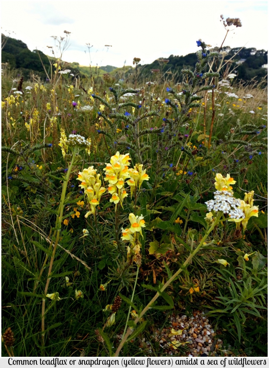
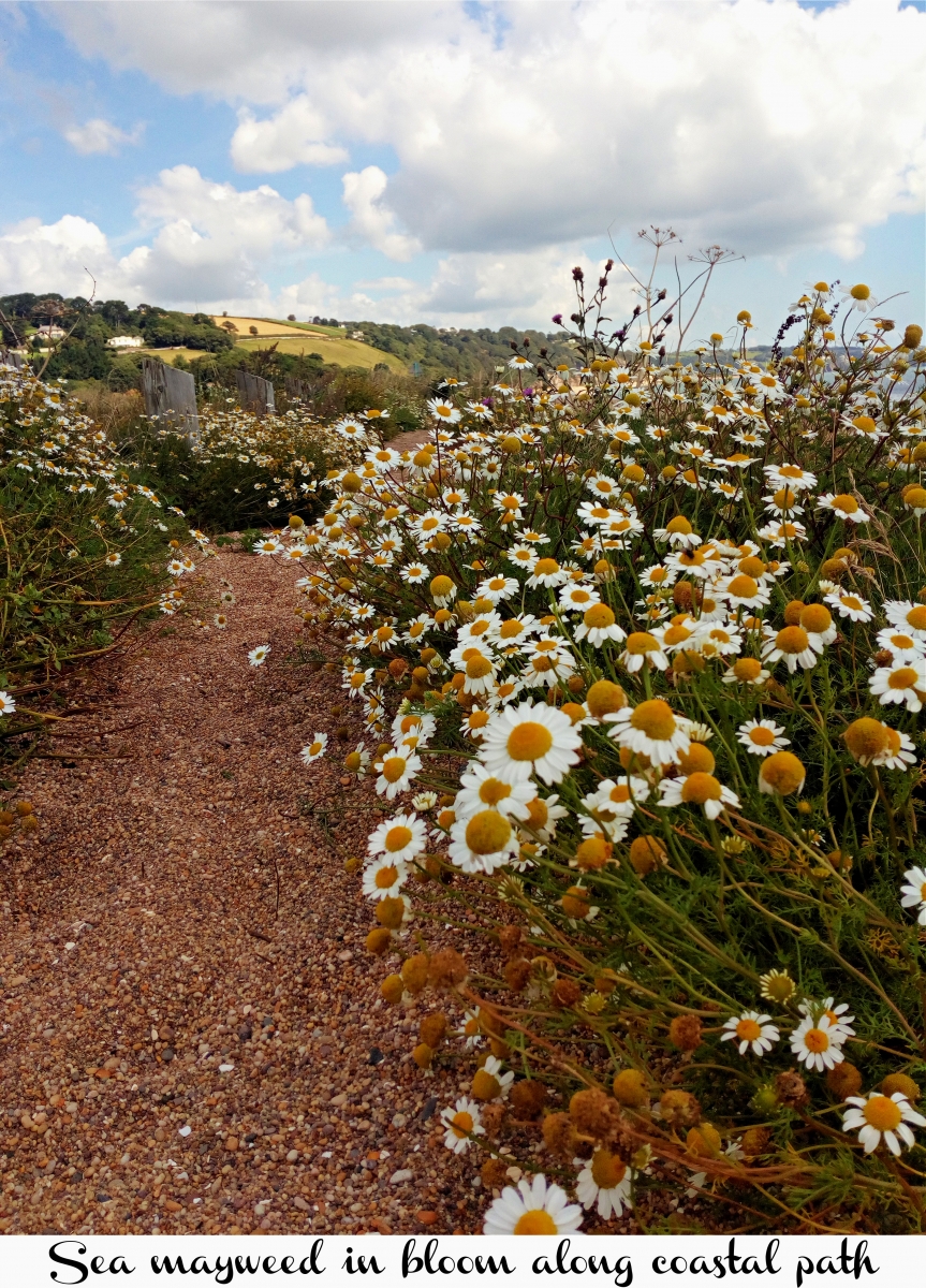
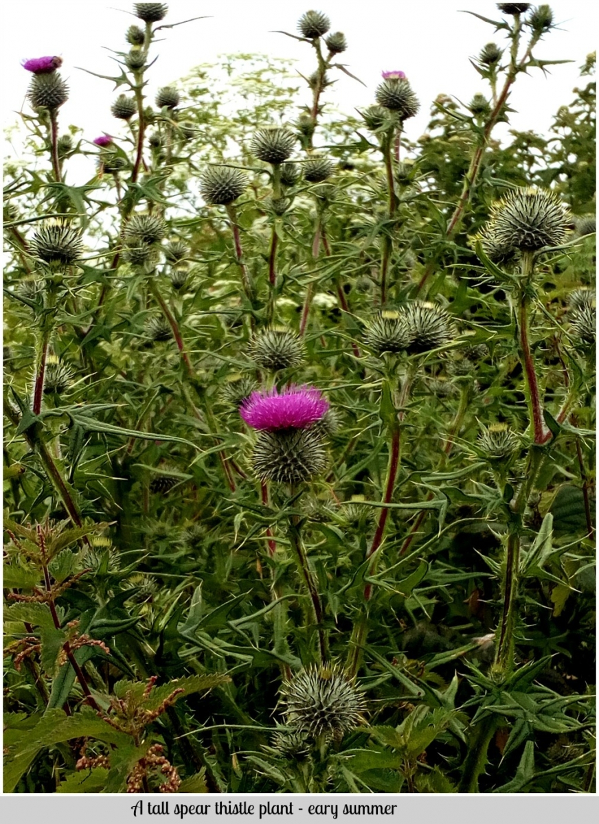
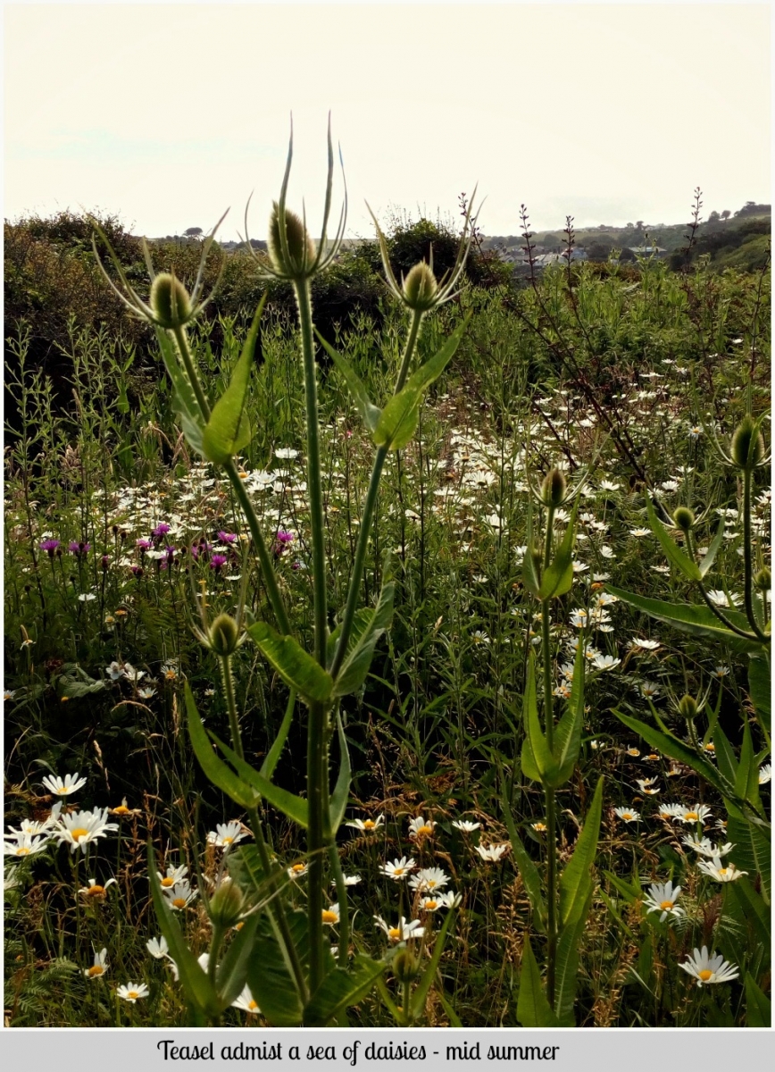
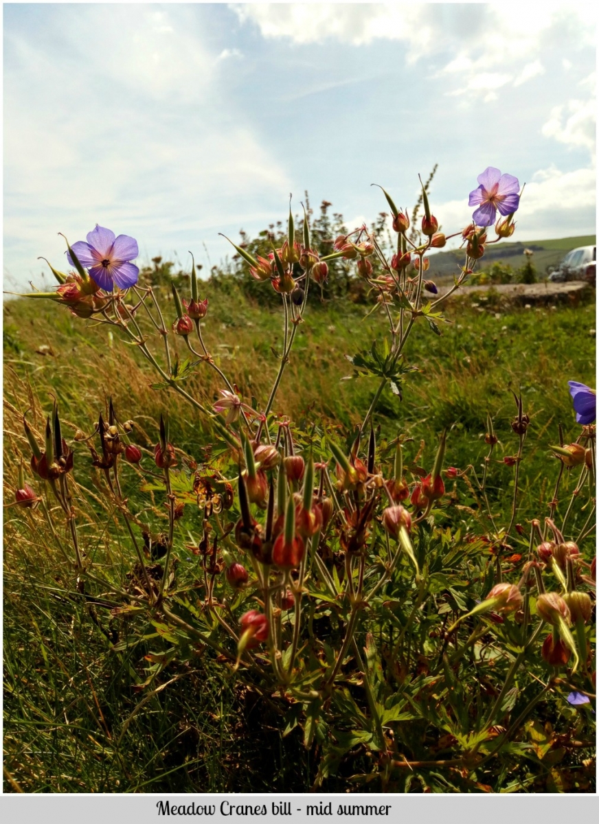
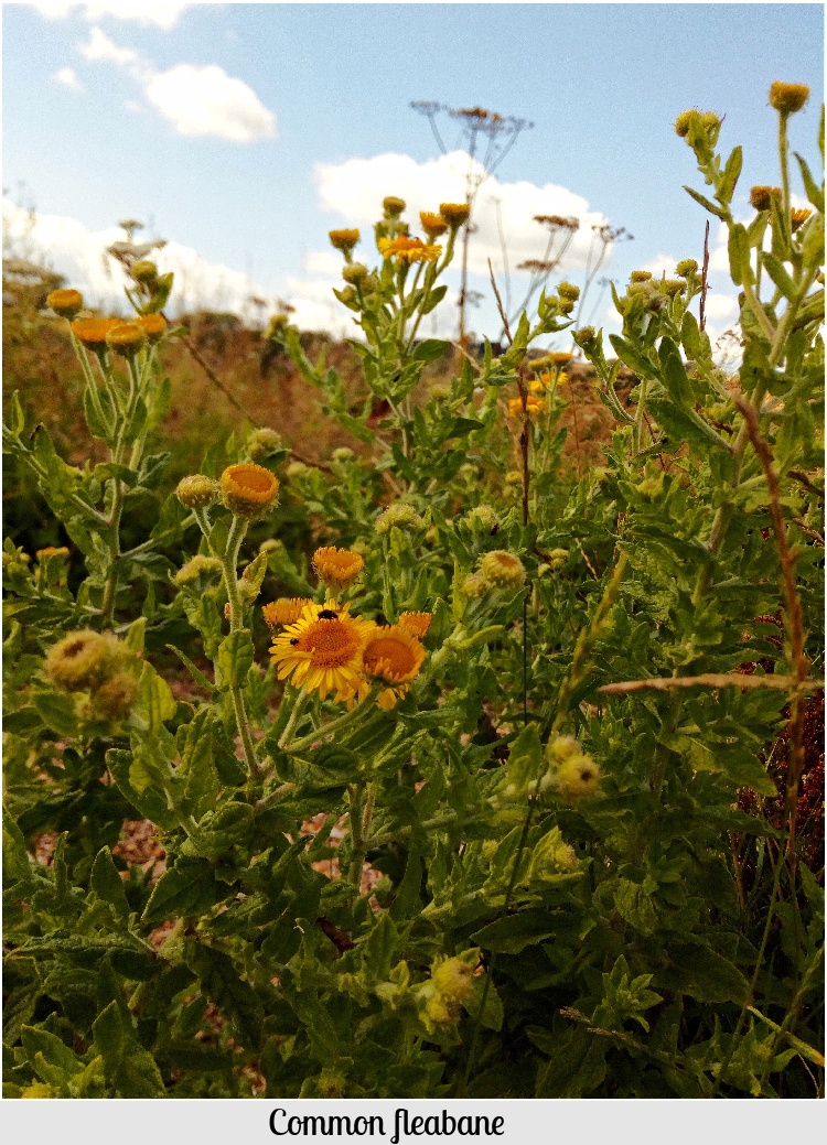
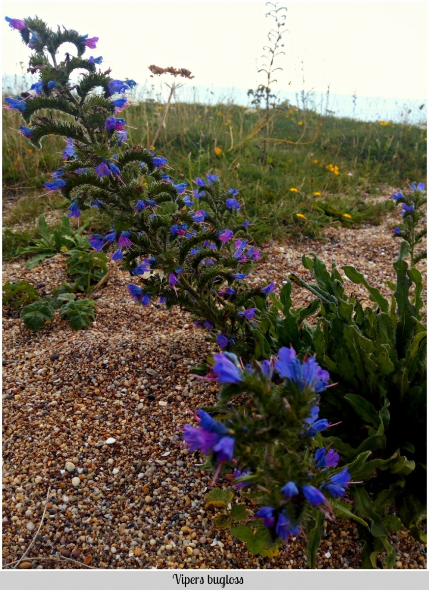
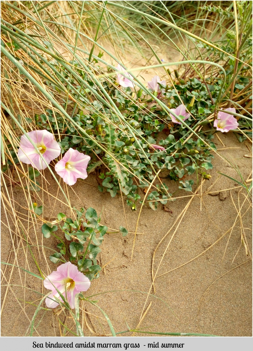
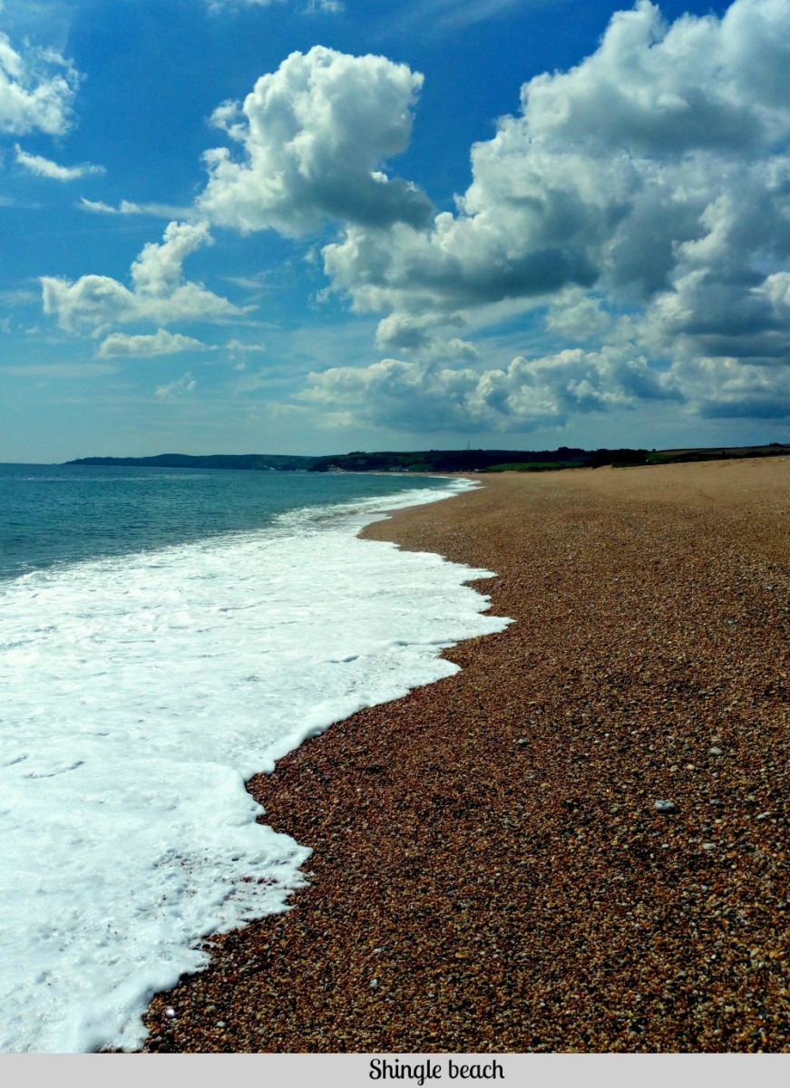
The SW coastline in Devon consists of both shingle and sandy beaches. Vegetated shingle beaches in particular are a rare and specialised habitat and exists only in NW Europe, Japan and New Zealand, comprising 26 SSSI's in the UK. They are hard to colonise by plants due to the movement of shingle from wave activity and harsh climate, as no topsoil can get a hold. Coastline such as Slapton Ley are rare in that plants such as the Yellow horned poppy (Glaucium flavum), Vipers bugloss (Echium vulgare), Sea campian (Silene uniflora) - to name but a few have created a unique habitat which is bio diverse a little inland. Slapton Ley is rare as the shingle beach and fresh water lake are separated by a ridge with a variety of habitats attracting insects, birds and animals and is a restricted area of conservation due to leisure and other activity as well as storm damage having an impact on biodiversity (https://www.slnnr.org.uk/wildlife/habitats-conservation.aspx). Shingle beaches are also a form of natural flood defence as they are higher sloping than sandy beaches which is flanked by shallower water and are able to absorb being struck by strong waves.
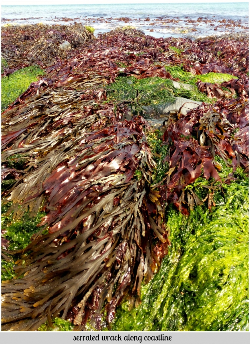
Beaches such as Bantham with sand dunes allow for rich and varied habitats, whilst in places such as Beesands there are communities of seaweed. The following pictures show some of the diversity of plants that have colonised shingle and sandy beaches along Devon coastlines.
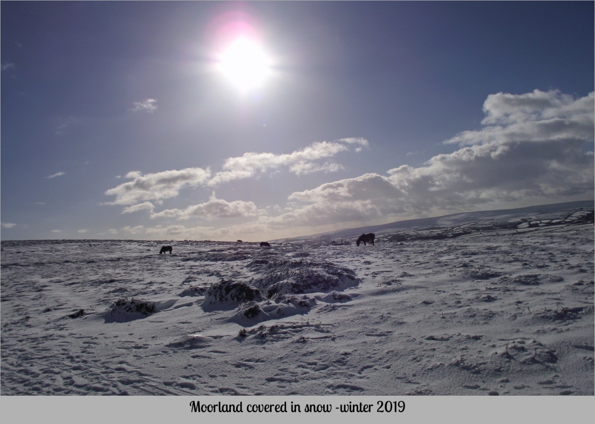
Moorland
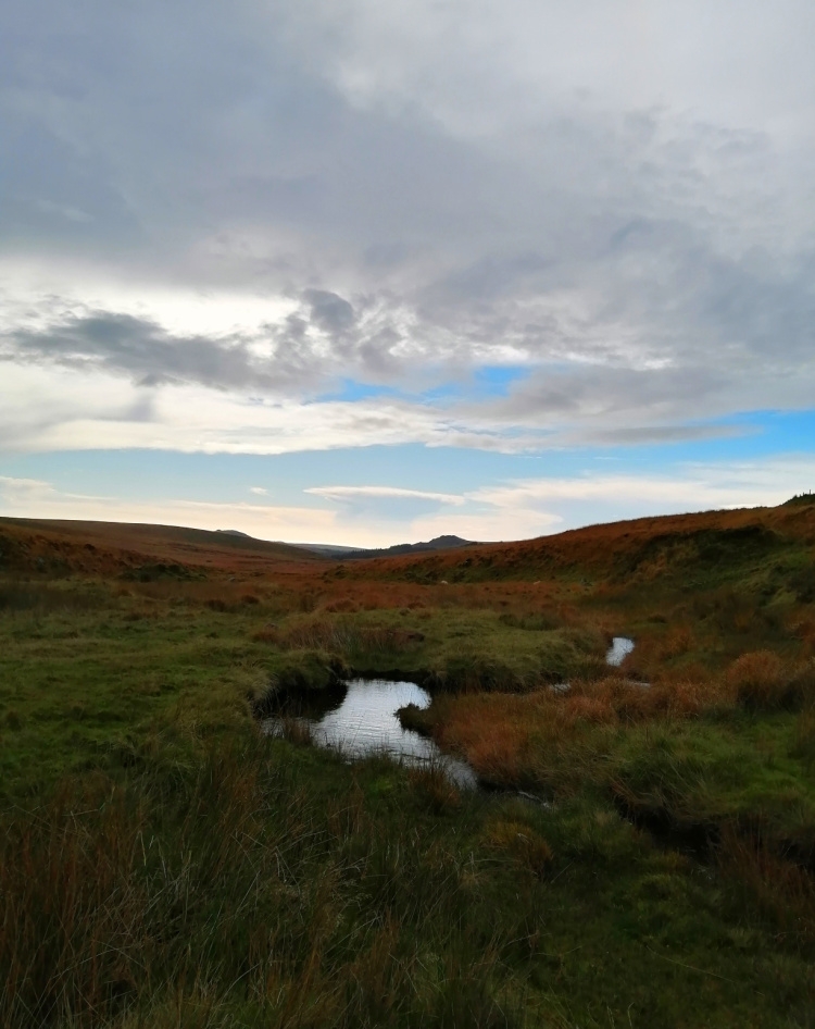
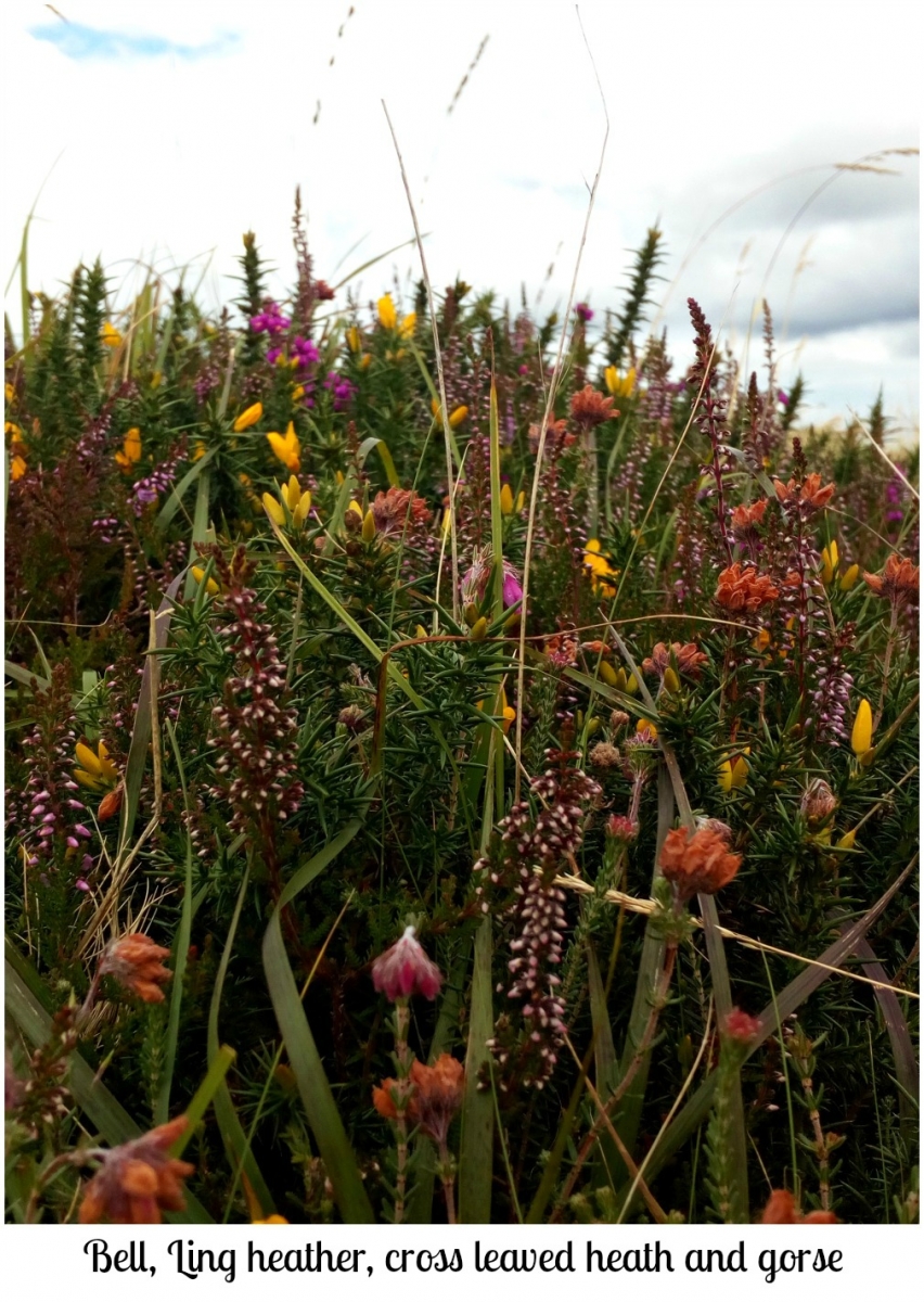
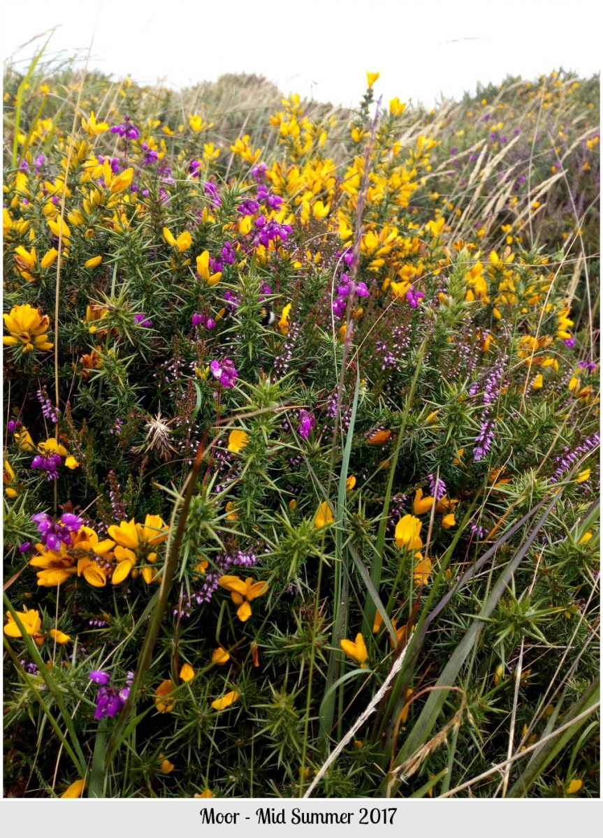
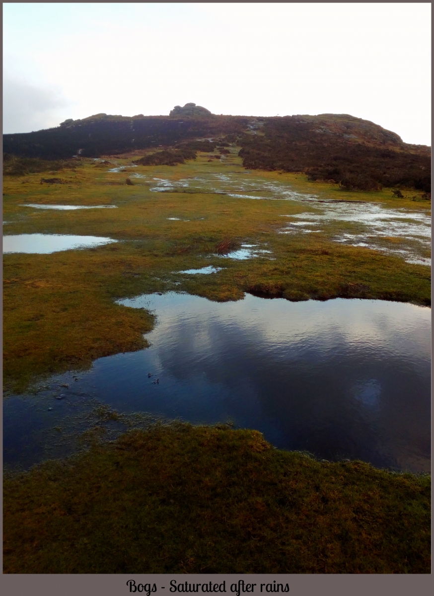
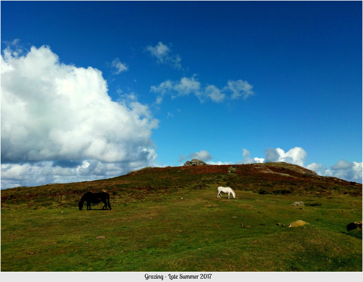
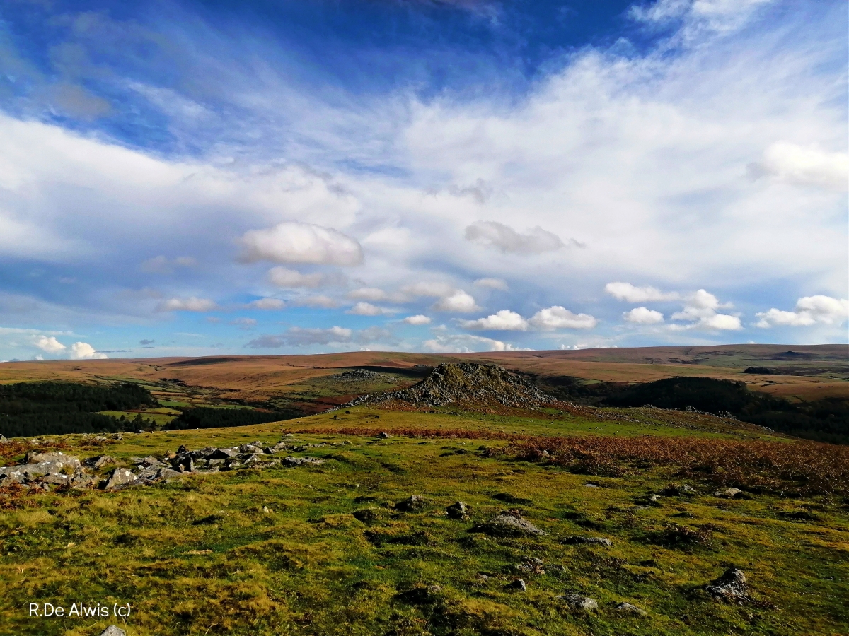
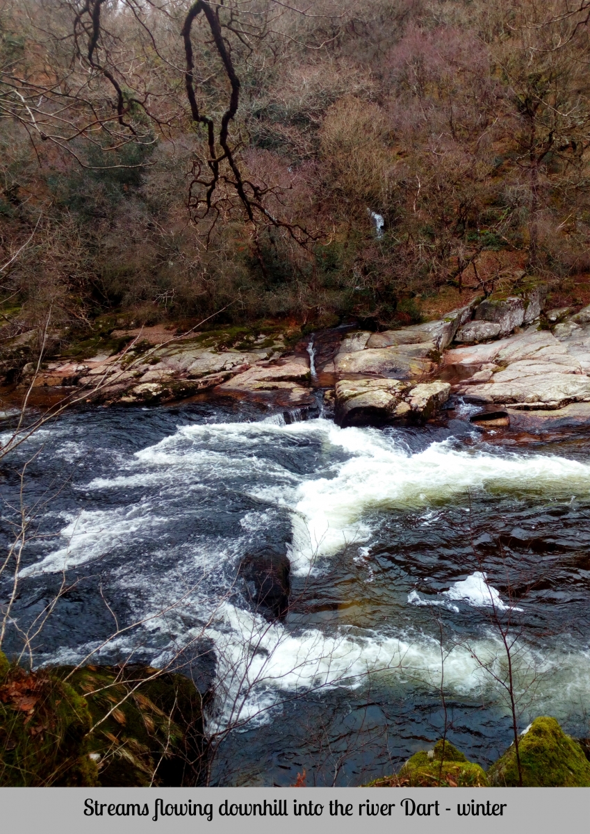
Dartmoor National Park in the SW of the UK - has 21 SSSI's (Sites of Special Scientific Interest) is an area of conservation for it unique geology, ecology and geomorphology with granite as the heart of its influence. Comprised of peatlands, bogs, mires, acid grassland, woodland, agricultural land, dwarf shrub and grasslands, with the presence of ponies, cattle and human settlement and also impact as it has seen some mining, although this no longer exists. Having evolved over many millenia in an area of volcanic activity, the moor has seen many changes - from a tropical sea to a shallow one, sea level changes, ice ages to tropical forests and mountain belts which have seen rapid erosion, with human habitation having its impact over 2-4,000 ya, when forests were cleared and new changes in climate brought much more rain than present day, creating today's bogs, peatlands and unique landscape. Today up to 80% of UK peatlands are damaged and in need of restoration. Peatlands globally sequester or contain 500 (Gigga ton) of carbon. It is estimated that 11 Gt of carbon is produced by humans globally annually (ICUN, 2018). It is a crucial resource in climate change (https://www.moorsforthefuture.org.uk/).
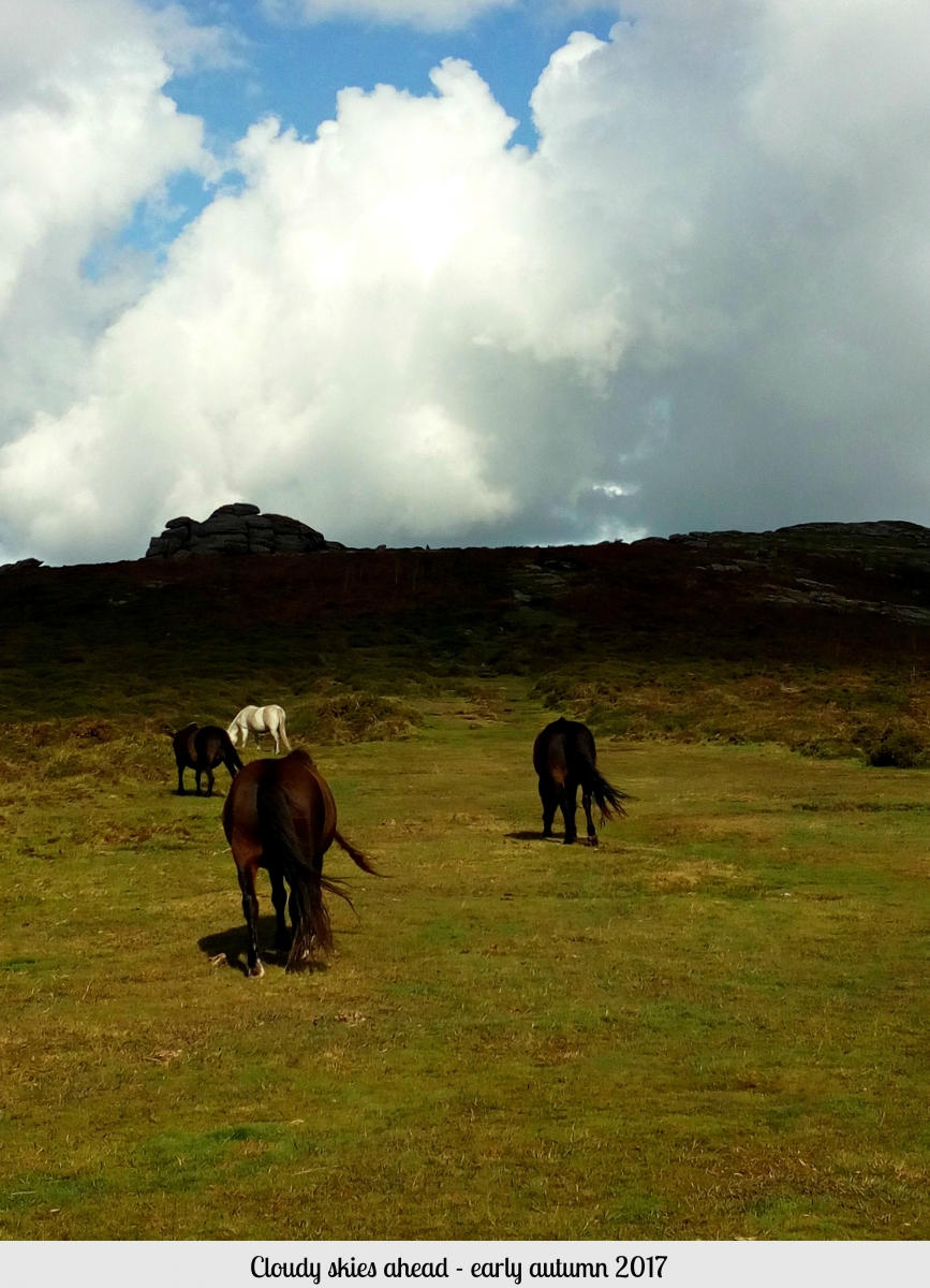
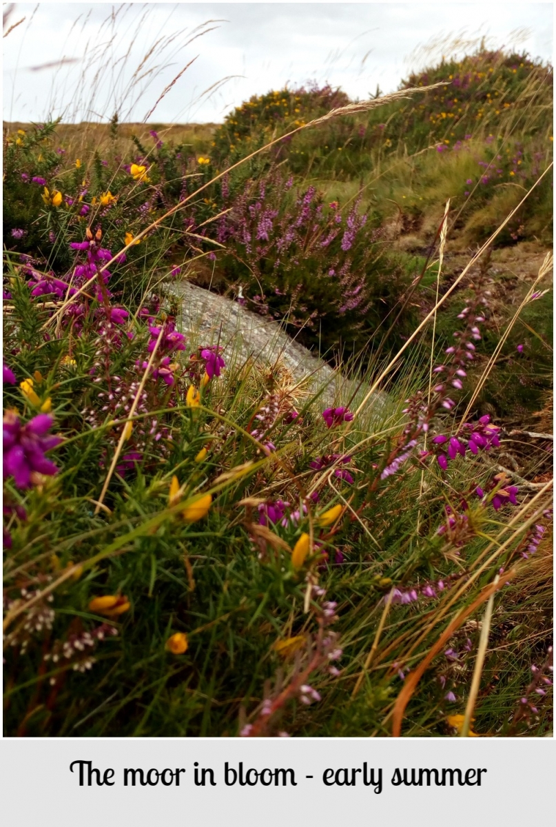
The following pictures show some of Dartmoor's vegetation and landscape, Ling (Calluna vulgaris), cross leaved heath (Erica tetrilix), gorse (Ulex), bell heather (Erica cinerea), purple moor grass (Molinia cearulea). Dartmoor ponies and horses pictured, owned by Dartmoor residents are left to roam freely across the moor.
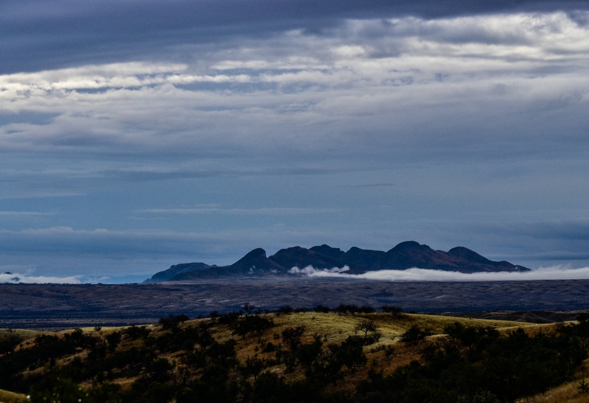
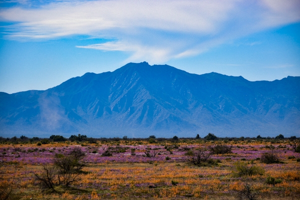
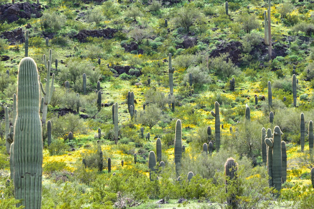
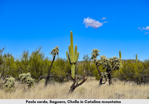
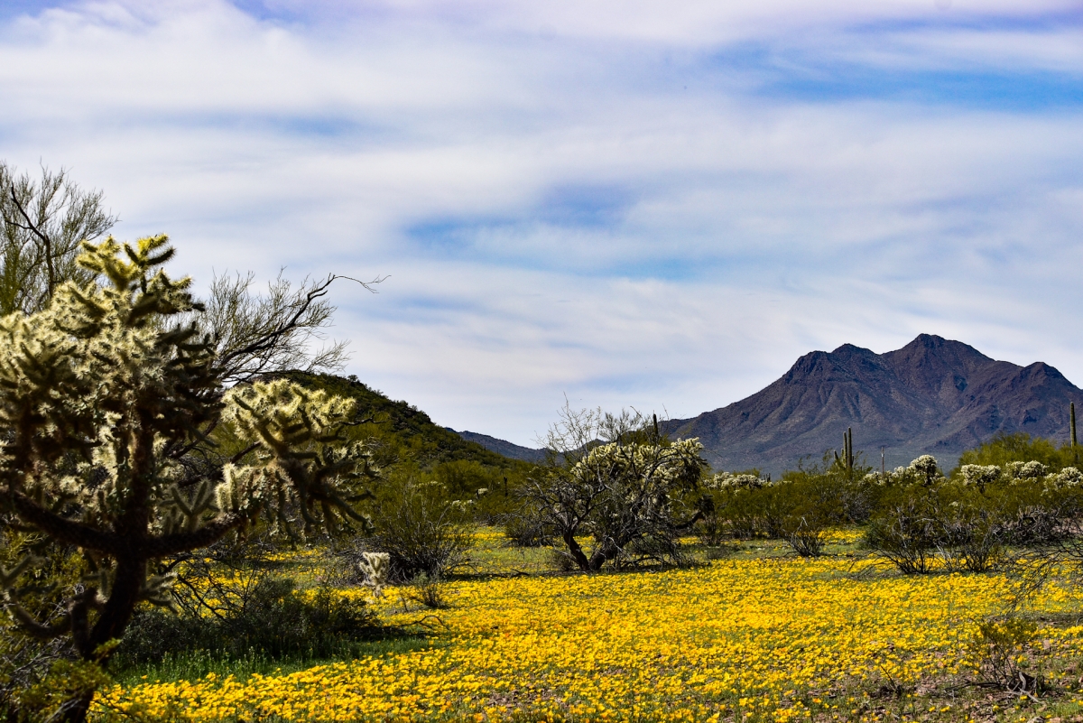
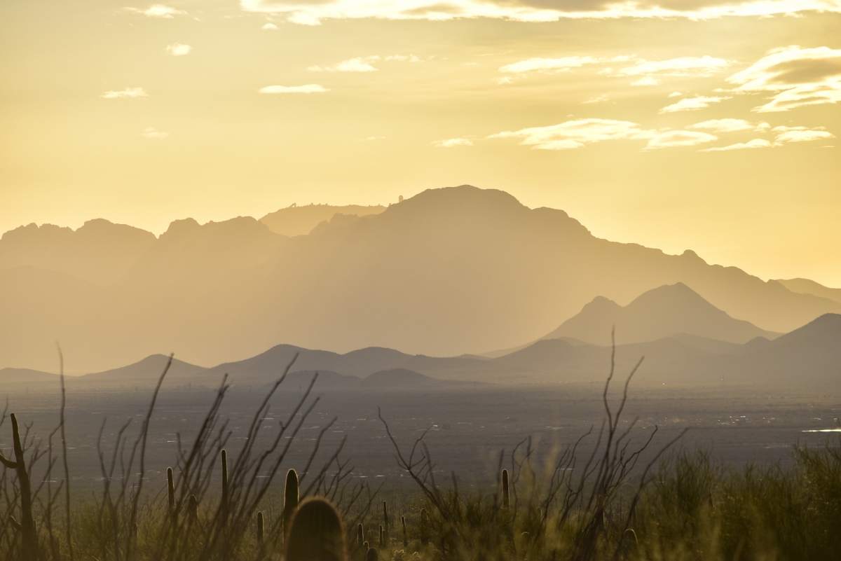
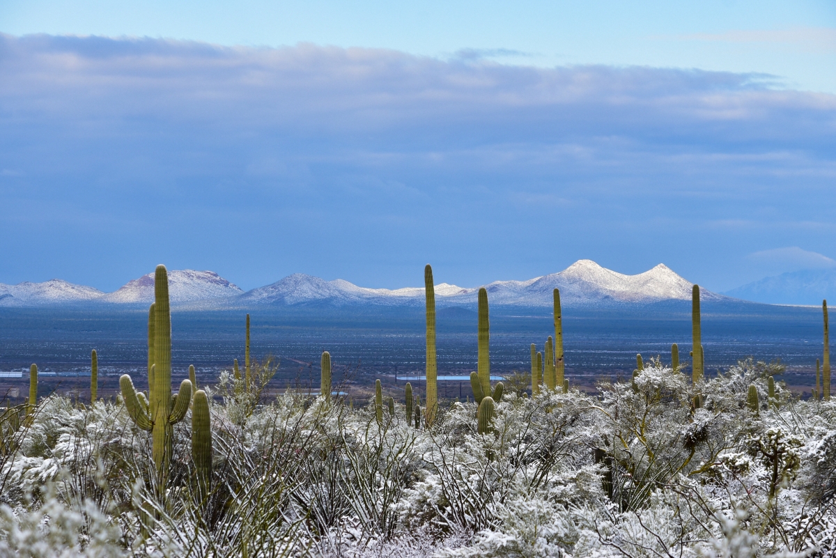
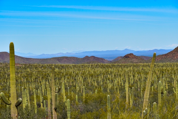
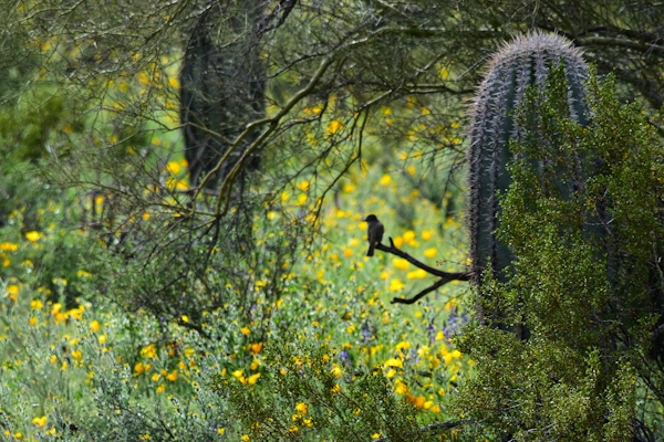
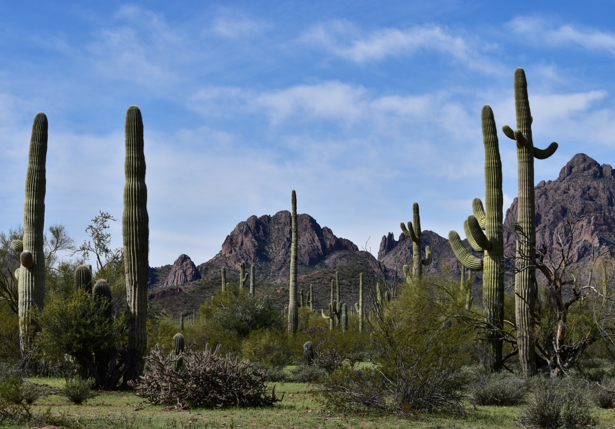
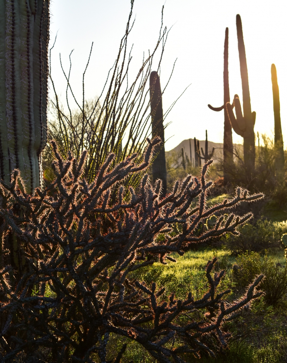
Sonoran Desert
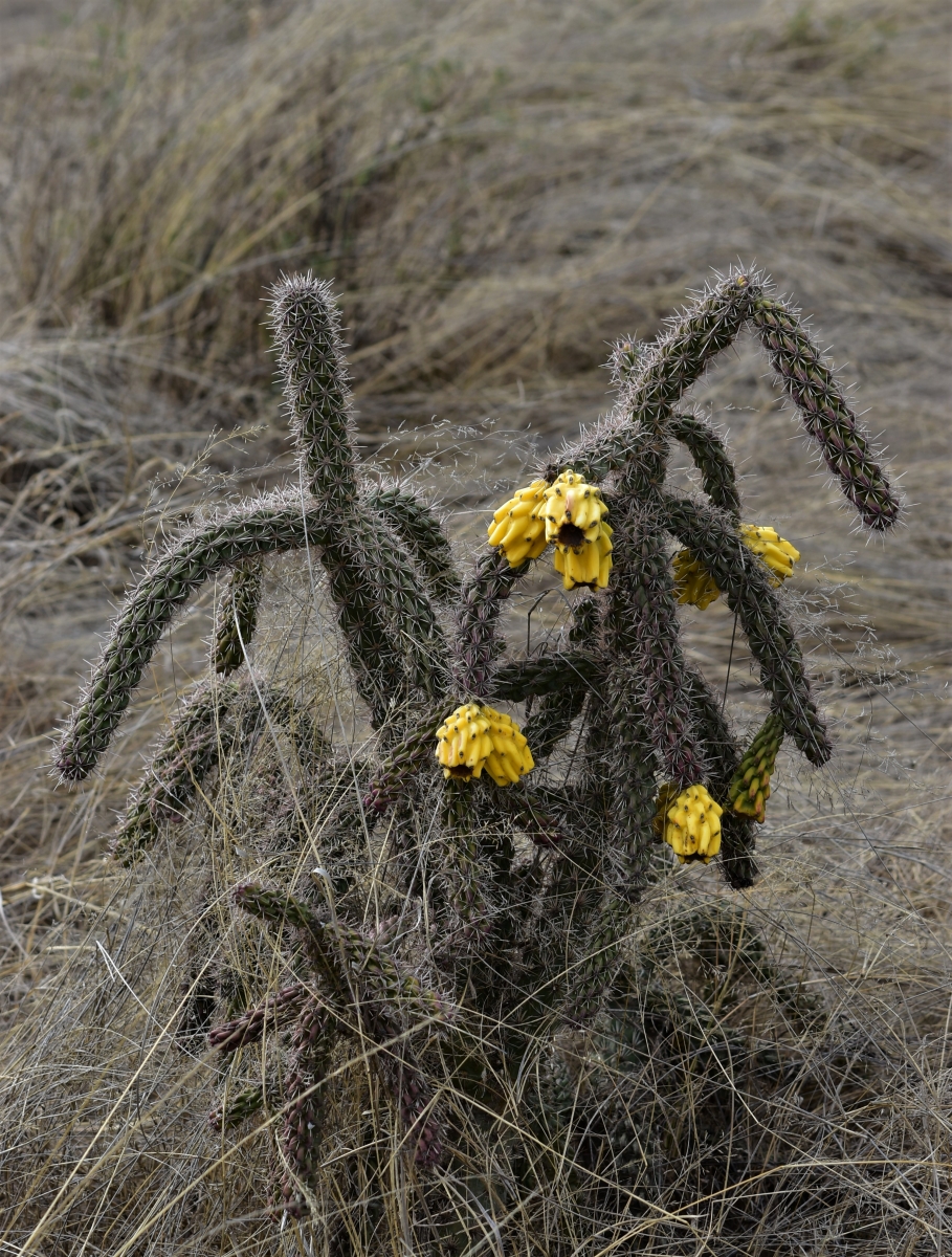
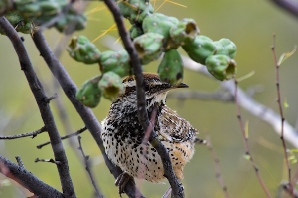
The Sonoran Desert - spanning a region that covers 260,000 sq. km – from Arizona, SE California and NW Mexico in the Basin and Range province of South Western USA/NW Mexico. It is one of 4 deserts which neighbour the region and it’s uniqueness is characterised by plant and wildlife species which include more than 350 bird species, over 100 reptiles, 130 mammals, 2,500 species of native plants, 300 of which are cacti, 550 invertebrate species and an estimated 750 species of bees, a bio-region home to more bees than anywhere else in the world (Dimmit, 2019). It is also home to the largest cacti in the world, the Saguaro (Carnegiea Gigantea) and the oldest known living plant, the Creosote bush (Larrea Tridentata), which is more than 11,400 yrs old. This species rich, arid/semi-arid desert region has temperatures ranging from 5 - 50 degrees (C) in heights of summer, but the current desert is still young, having evolved over 13,000 kya from Mexican tropical jungle and plateau, although the desert region has seen many expansions and contractions over a 8 million paleohistory of climate change.
The major threats to the SD are from land use/land cover change, arid agriculture, invasive species, unrestricted housing development into wild desert areas, a growing human population due to warm climate and border wall leading to land degradation, loss of habitats, loss of last remaining aquifers and groundwater resources (Nabhan, 2019). The recent popularity of succulents and cacti has seen illegal poaching of species, a rise in wildfires linked to climate change as well as changes to temperature and rainfall.
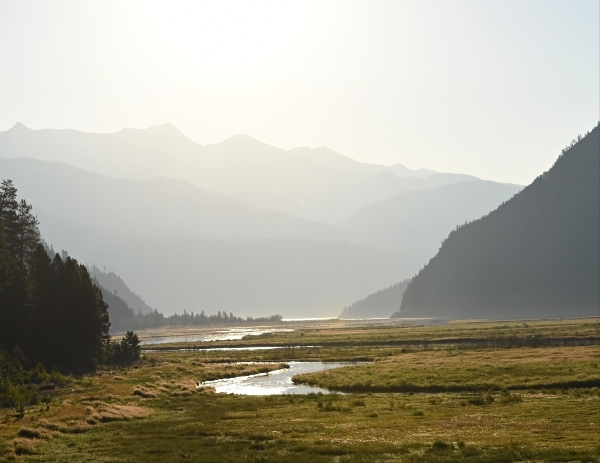
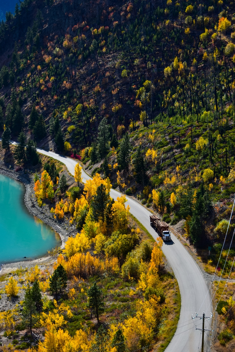
Watersheds
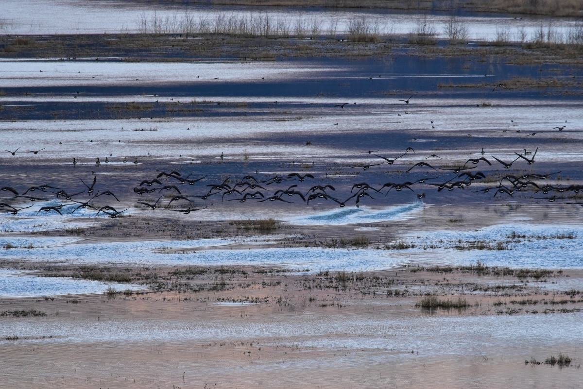
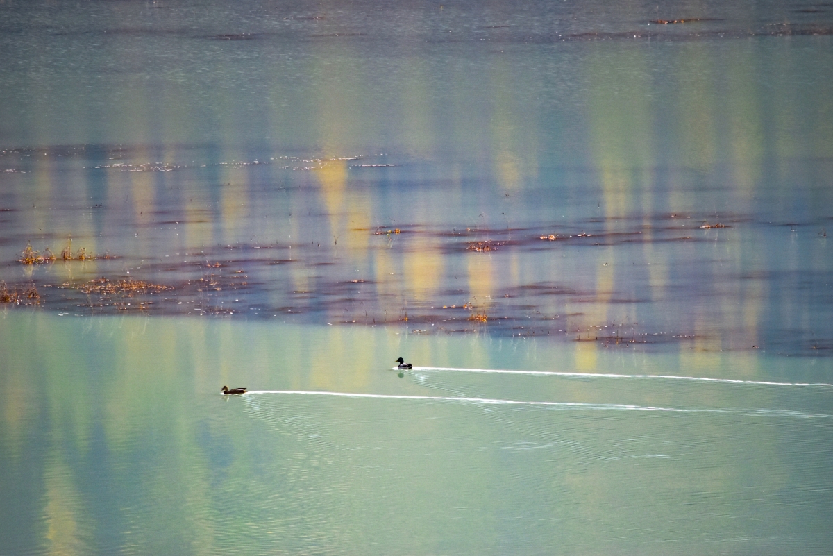
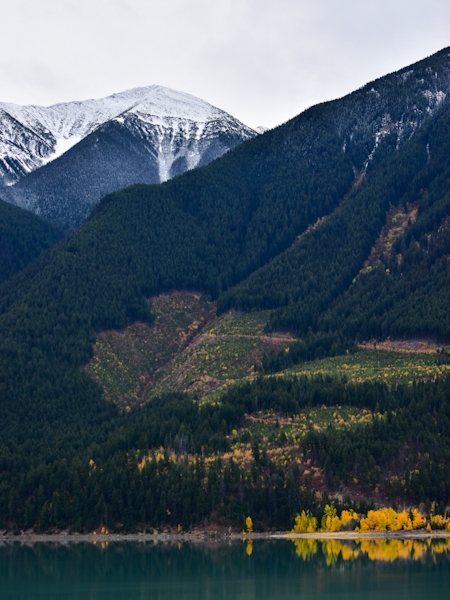
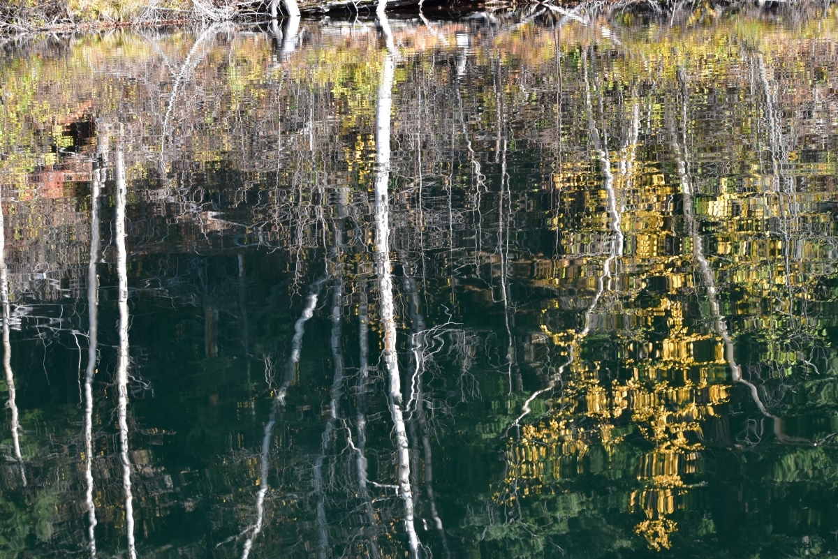
British Columbia has 9 watershed basins, the Fraser River is one. A watershed is composed of all the waters that flow into it, whether from, rain, snow and mountain glacier melt waters flowing down mountains into rivers/ streams, from higher elevations. The diversity of habitats are dependent on glacier meltwater. River basins are large areas made up of many different tributaries and watersheds that wildlife and people are dependent on for survival.The Fraser river has 12 watersheds alone. There are management plans to ensure that river basins have protections and are used to benefit both communities and habitats/wildlife.
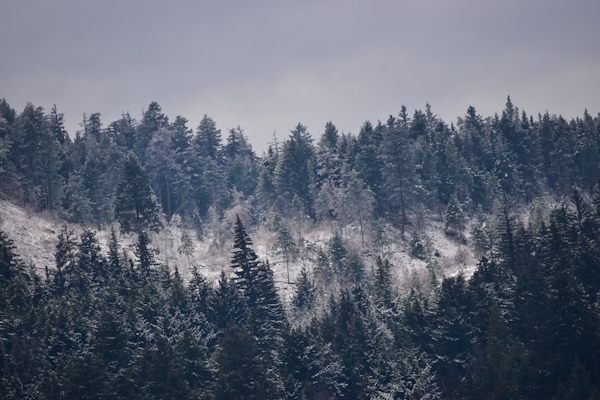
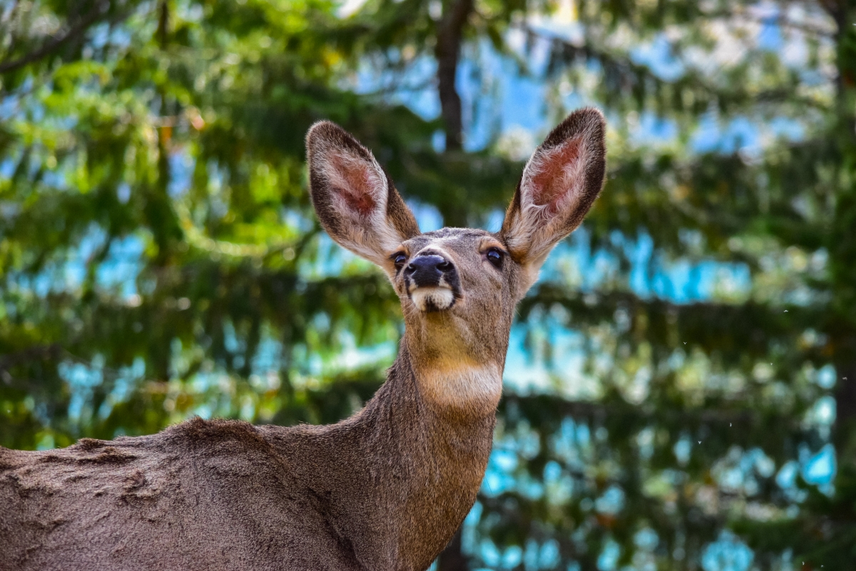
Some notable habitats of the Fraser River Basin (FRB) which rise in the Rockies, include sub alpine plateaus, grasslands, braided channels, wetlands, meadows, creeks, streams, lakes, rivers and are defined by low/mid/upper regions. It spans 240,000km and is BCs largest river basin, containing some of the most bio diverse habitats, temperate forests of douglas and alpine fir, lodgepole pine, western hemlock, white spruce, trembling aspen as well as protected species such as grizzly bear, cougars, bighorn sheep and Canadian lynx. Five species of Pacific salmon (sockeye, coho, chum, chinook, pink) are found here along with a variety of fish such as steelhead trout and sturgeon. Habitats found here play an important role in regulating water, air, soil quality as well as recycling nutrients and minerals. The major environmental impact in this region come from wildfires, development, logging and mining, both current and historical as well as from hydroelectric projects which have had both a positive and negative impact. Despite more stringent environmental standards much needs improving in these industries to maintain the largest temperate forests of the Northern hemisphere, already seeing affects from climate change.